Index of /tcdata/flight/applications/plots/v1.0/1999/katrina/earth_relative
Name
Last modified
Size
Description
Parent Directory
-
katrina_earth_relative_plotting_summary.txt
2014-08-20 03:08
21K
plot_flight_track_katrina_1999_all_flights.png
2014-08-20 03:06
218K
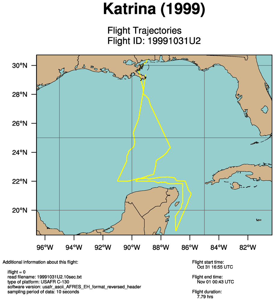
plot_flight_track_katrina_1999_single_flight_0_19991031U2.png
2014-08-20 03:07
218K
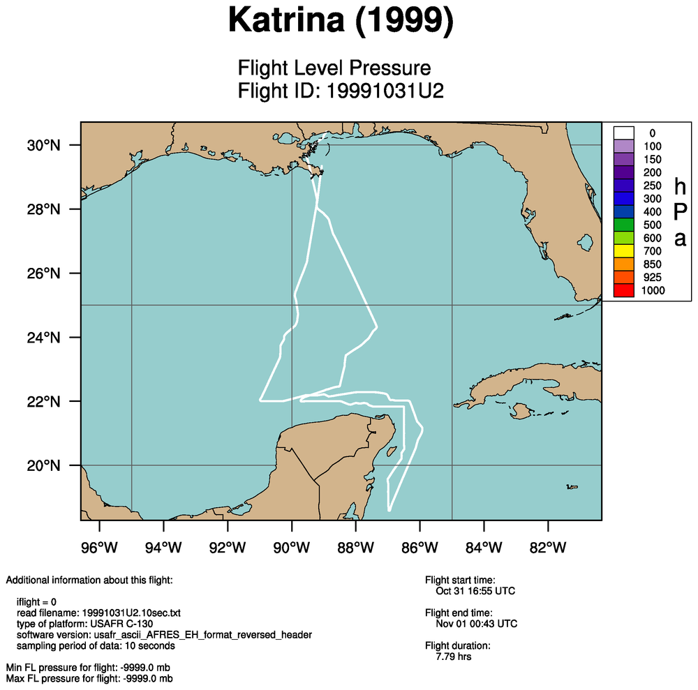
plot_flight_track_with_flight_level_pressure_katrina_1999_all_flights.png
2014-08-20 03:07
232K
plot_flight_track_with_flight_level_temperature_katrina_1999_all_flights.png
2014-08-20 03:08
229K
plot_flight_track_with_flight_level_temperature_katrina_1999_single_flight_0_19991031U2.png
2014-08-20 03:08
229K
plot_flight_track_with_flight_level_wind_speed_katrina_1999_all_flights.png
2014-08-20 03:07
234K
plot_flight_track_with_flight_level_wind_speed_katrina_1999_single_flight_0_19991031U2.png
2014-08-20 03:07
233K
plot_flight_track_with_sea_level_pressure_katrina_1999_all_flights.png
2014-08-20 03:07
247K
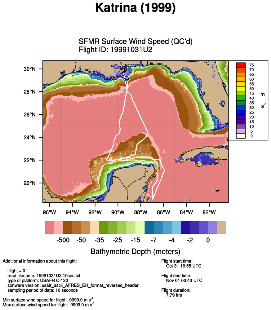
plot_flight_track_with_sfmr_surface_wind_speed_quality_controlled_katrina_1999_all_flights.png
2014-08-20 03:08
333K
plot_flight_track_with_sfmr_surface_wind_speed_raw_katrina_1999_all_flights.png
2014-08-20 03:07
332K
Apache/2.4.38 (Debian) Server at verif.rap.ucar.edu Port 443