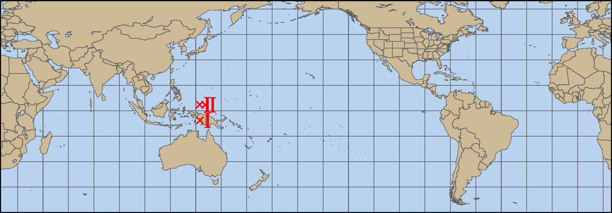
Current Active Storms
Storms active within the past 12 hours, valid for: 30 July 2026 0000 UTC
Last updated: 30 July 2026 0326 UTC
North Indian
No current storms
North Atlantic
No current storms
Southern Hemisphere
No current storms
South Atlantic
No current storms
The real-time guidance system generates an individual page for each active storm in the North Atlantic, Northeast Pacific, North Central Pacific, Northwest Pacific, North Indian Ocean, South Indian Ocean, and South Pacific basins (this page may not provide any information on storms in the Mediterranean or South Atlantic basin). Each individual storm page features the latest plots of model guidance and intensity forecast aids for that storm, as well as other diagnostic and observational information.
For more information and about the real-time guidance system and the documentation for each section of the individual storm pages, click here.