Real-time (Beta) Guidance for HURRICANE LOWELL (EP12)
This page provides plots and information for HURRICANE LOWELL (EP12). The left side of this page provides TCGP-generated plots of numerical guidance and other TCGP-curated data. The right side of this page provides external links to additional information and products. Most of the model guidance displayed in the plots come from modeling centers outside of NCAR, such as NOAA, other national numerical weather prediction centers, and universities. Click here for information about who contributes to TCGP. Your use of this page is governed by the UCAR Terms of Service and this site's disclaimer. To obtain help for any item on this page, click on the question mark beside that item.
Information as of the most recent model cycle
At 1800 UTC, 08 September 2026, HURRICANE LOWELL (EP12) was located in the North Central Pacific basin at 24.5°N and 160.7°W. The current intensity was 70 kt and the center was moving at 17 kt at a bearing of 0 degrees. The minimum central pressure was 972 mb.
Reconnaissance Aircraft Data
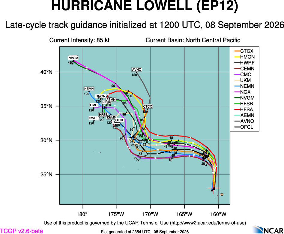
Track guidance
Ensemble Prediction System (EPS) track guidance and diagnostics


A plot of late cycle GEFS track by Probability of Rapid Intensification by GELOG has not yet been generated.
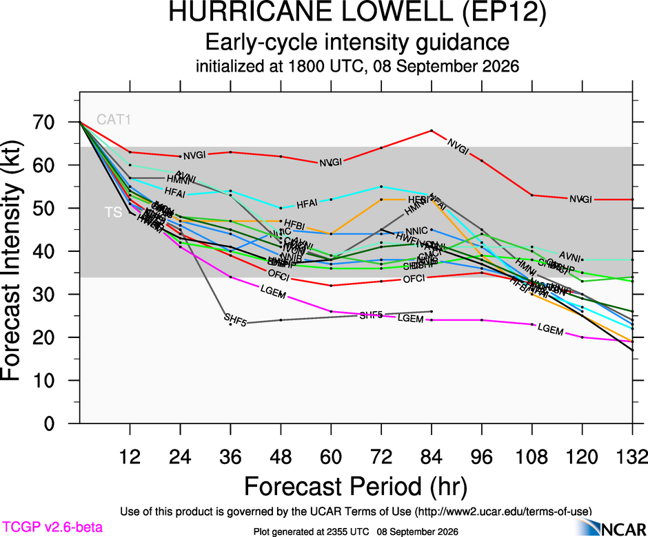
Intensity guidance

Probabilistic wind exceedance guidance
A plot of 34-kt wind exceedance guidance has not yet been generated for FHLO-ECMWF*.
A plot of 50-kt wind exeedance guidance has not yet been generated for FHLO-ECMWF*.
A plot of 64-kt wind exeedance guidance has not yet been generated for FHLO-ECMWF*.
A plot of 83-kt wind exeedance guidance has not yet been generated for FHLO-ECMWF*.
A plot of 96-kt wind exeedance guidance has not yet been generated for FHLO-ECMWF*.
A plot of 34-kt wind exceedance guidance has not yet been generated for FHLO-GEFS*.
A plot of 50-kt wind exeedance guidance has not yet been generated for FHLO-GEFS*.
A plot of 64-kt wind exeedance guidance has not yet been generated for FHLO-GEFS*.
A plot of 83-kt wind exeedance guidance has not yet been generated for FHLO-GEFS*.
A plot of 96-kt wind exeedance guidance has not yet been generated for FHLO-GEFS*.
*The data incorporated herein is generated from the use of the Massachusetts Institute of Technology (MIT)’s Forecasts of Hurricanes Using Large-ensemble Outputs (FHLO) version 1.50, © MIT, used with permission. All Rights Reserved.
ATCF data files
track and intensity forecasts (a-deck)
history file (b-deck)
fixes file (f-deck)
Links to Official Warning Information
RSMC Honolulu - Central Pacific Hurricane Center
Environmental Diagnostics
Links to External Satellite-based Products
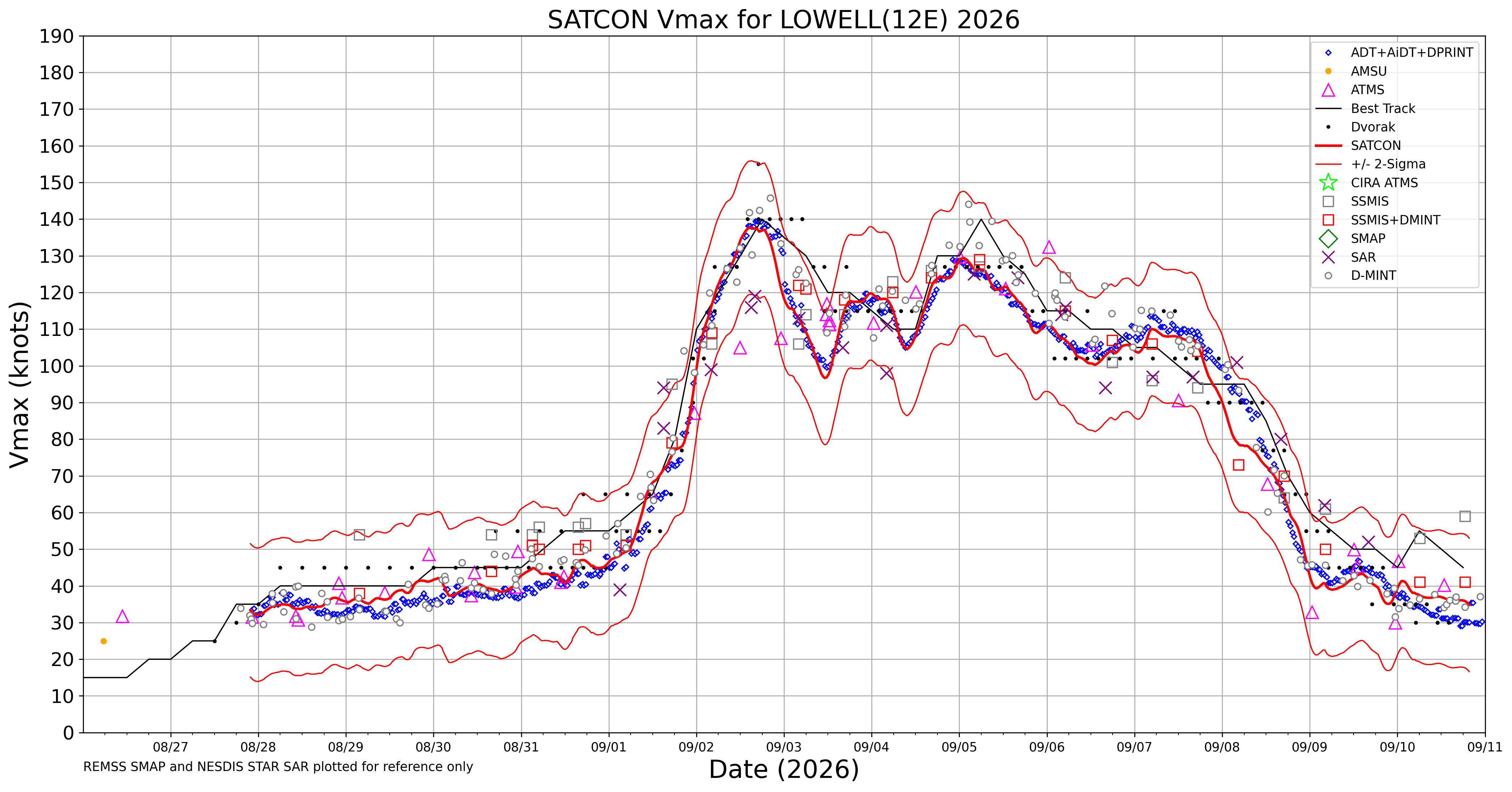
CIRA TC Real-time Page for LOWELL


UW-CIMSS TC Satellite Products for LOWELL
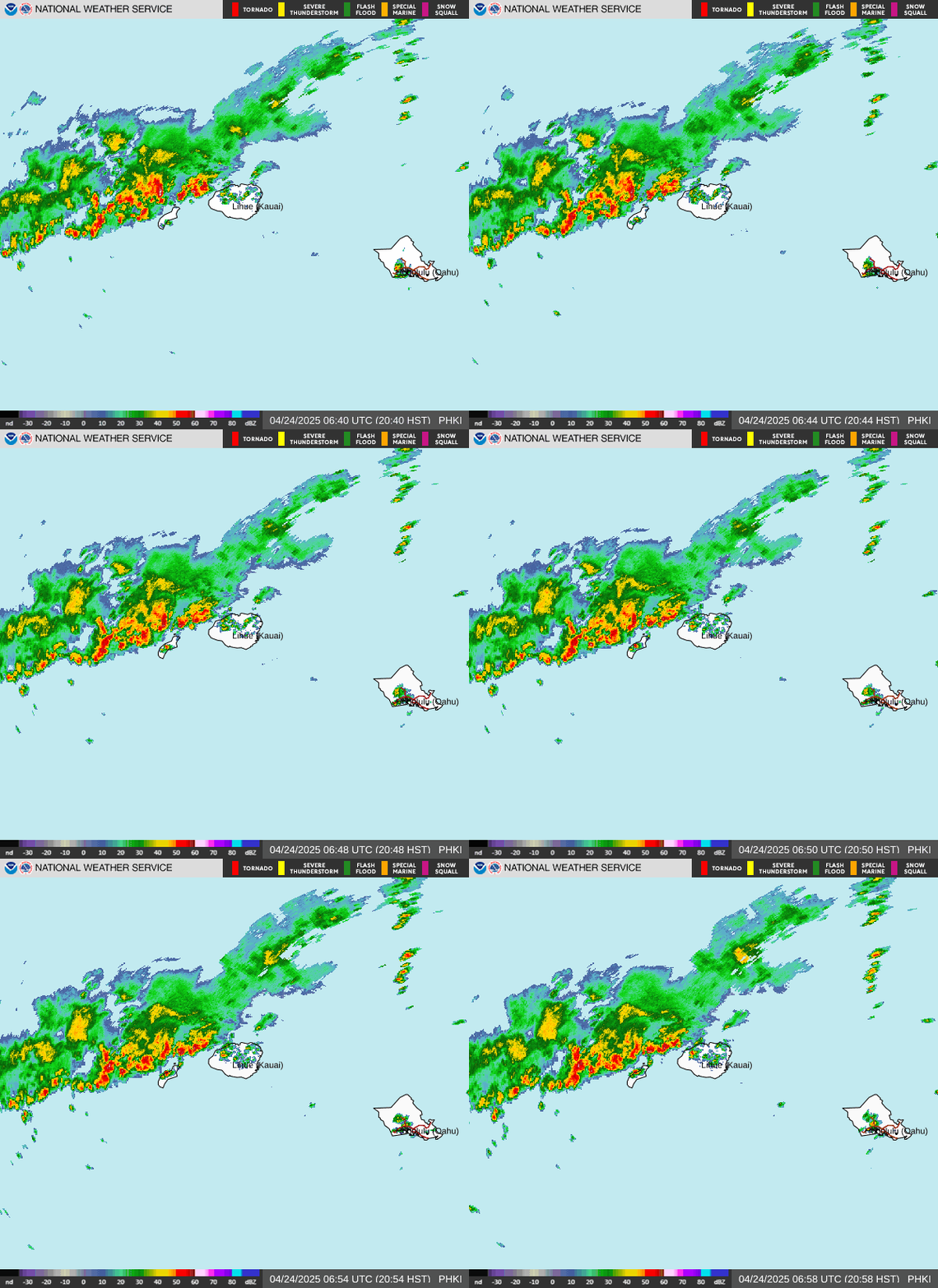
Links to Radars Within 350 km of LOWELL
HI NUMILA/S KAUAI Loop
Observations near LOWELL